Your maps, your position
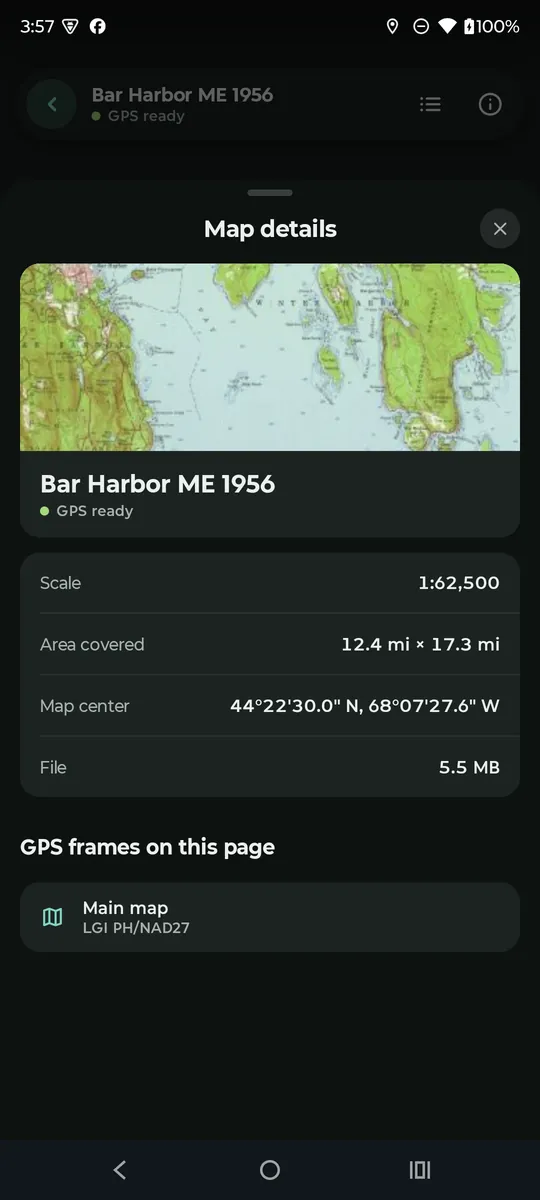
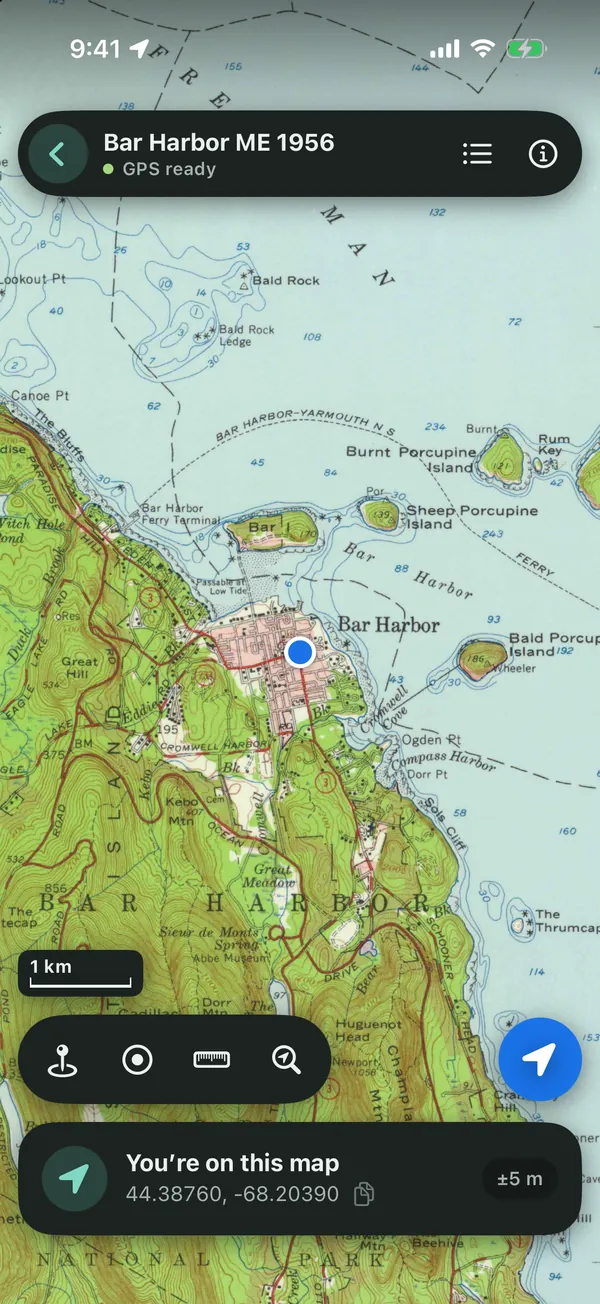
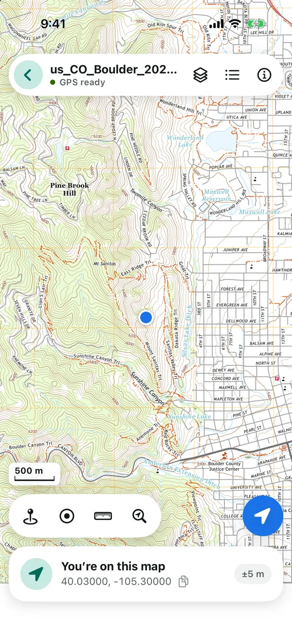
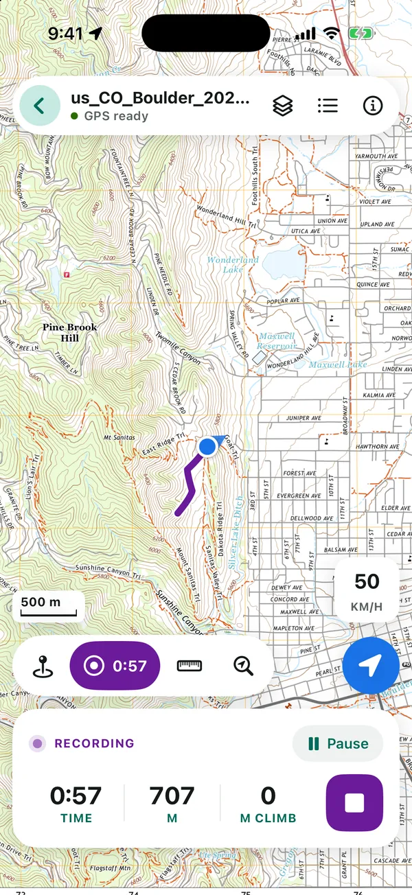
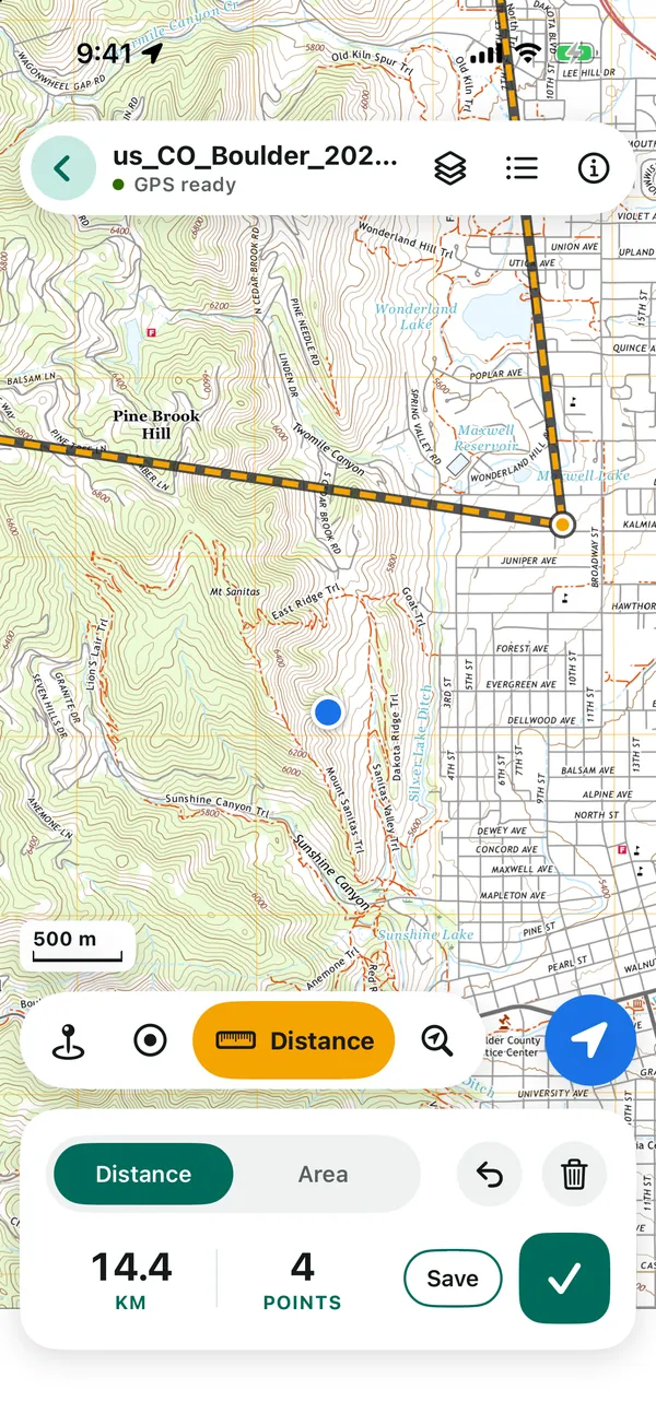
Add a georeferenced PDF or GeoTIFF from USGS, the Forest Service or your park, and your blue dot shows up on it, even with no signal.
The app’s Get maps tab lists free official map sources.

See your blue dot on the trail, park and topo maps you already have, even with no signal. No account, no ads, no tracking.
For iPhone, iPad and Android phones.


Add a georeferenced PDF or GeoTIFF from USGS, the Forest Service or your park, and your blue dot shows up on it, even with no signal.
The app’s Get maps tab lists free official map sources.

Distance, time and climb as you go, even with the screen off.
ProElevation profile for every track
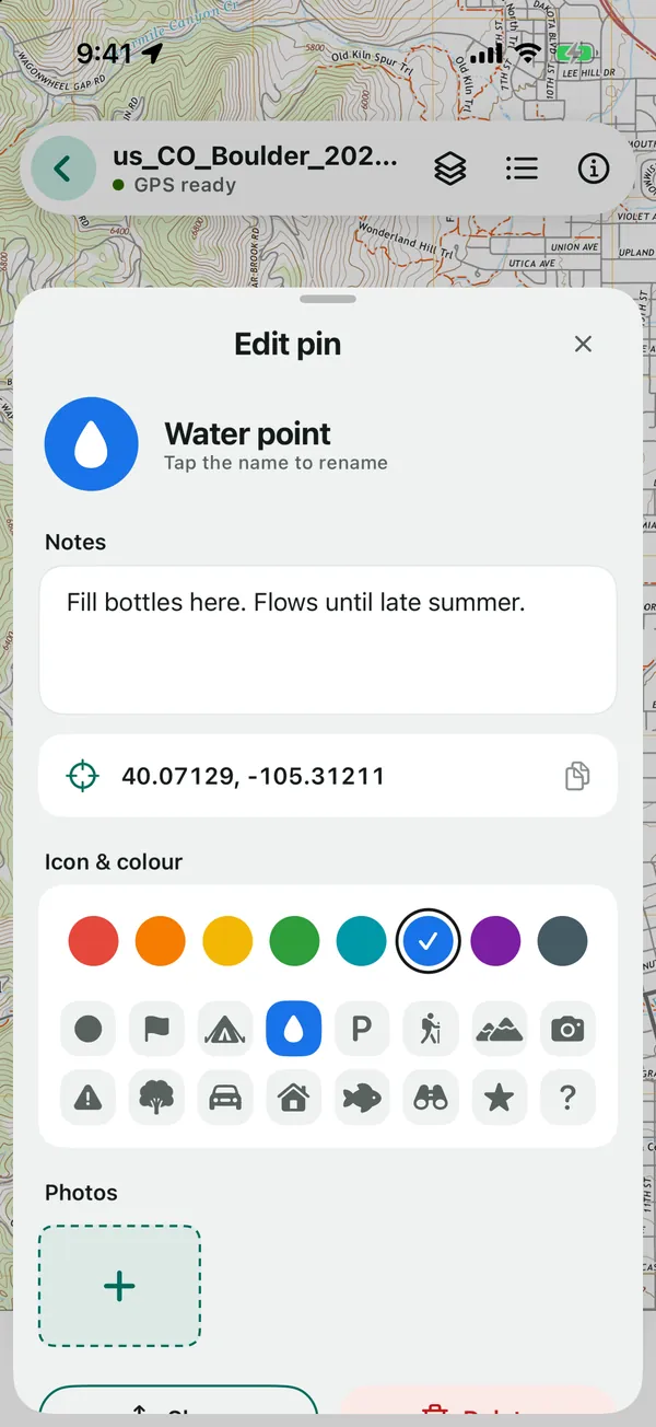
Mark the water point or tonight’s camp. Add notes and photos, and give it an icon and colour you can spot at a glance.

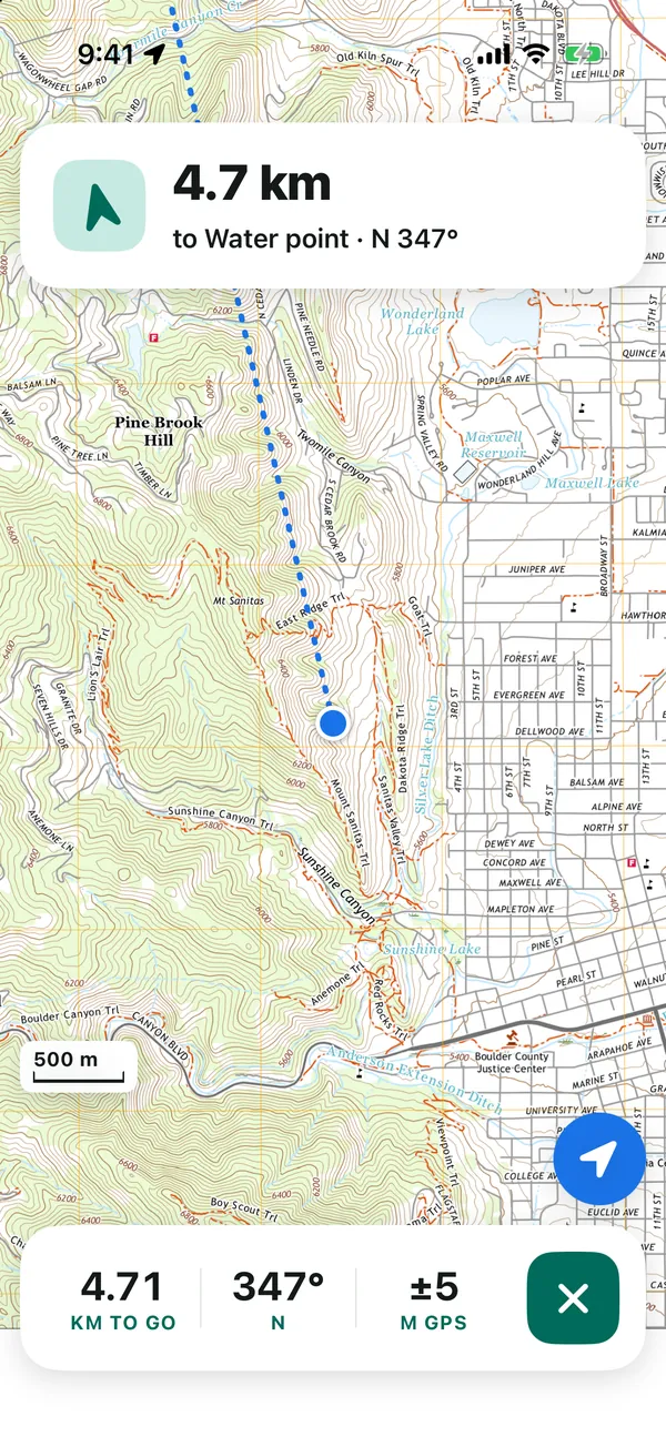
Head to any pin with a live arrow and distance.
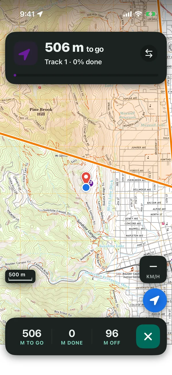
ProFollow a track back to the trailhead, with an alert if you stray off it

Tap out a line or a boundary and get kilometres or miles, hectares or acres.
ProKeep it as a saved line or area
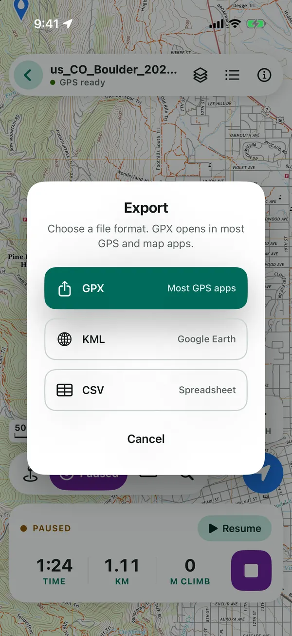
Import GPX, KML and KMZ; export pins and tracks as GPX, KML or CSV. One backup file moves everything to a new phone.

MapFold opens the maps your agency, park or crew already hands out, and puts you on them.
Follow the trail on the park’s own map, and pin the spring or your stand.
Open the incident map PDF and see where you are on the line, with no signal.
Find your block on the forestry PDF, and measure what’s left to plant.
Read your position in UTM or MGRS and record the ground your team covered.
Pin sample sites with notes and photos, then export them as CSV for the report.
All of it works offline, on iPhone, iPad and Android.
Decimal, DMS, DDM, UTM and MGRS, in feet and miles or metres.
Hold still and average the fixes for a more precise pin.
Turn a GeoPDF’s layers on and off, like imagery, relief or contours.
Map books open page by page, each with its own GPS frame.
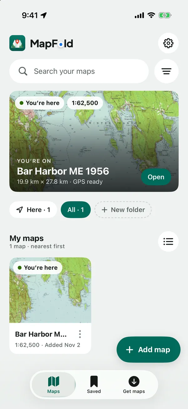
Sort maps into folders, with the ones you’re standing on first.
See which way you face, and turn the map with you.
A dark theme for the tent; the map itself stays bright.
A sidebar and a bigger map on iPad.
Maps, folders, pins with photos and tracks in one file.
Download your maps at home, and they stay with you wherever you go.

Download a GeoPDF or GeoTIFF from a park, forest or map agency website while you have signal.

Tap Add map, or choose “Open with MapFold” from Files, your downloads or an email.

Your blue dot appears on the map, even in airplane mode, miles from the nearest tower.
A PDF map that also stores where on Earth it is. Map agencies publish many of their maps this way, sometimes called GeoPDF. MapFold reads that data to put your GPS position on the page. GeoTIFF is the same idea for image files.
Georeferenced PDFs (GeoPDF), including TerraGo GeoPDFs and multi-page map books, and GeoTIFF maps. For your pins and tracks: import GPX, KML and KMZ, and export GPX, KML or CSV.
No. Your phone’s GPS works straight from the satellites, and your maps are stored on the phone. MapFold works fully offline and never sends your data.
Many agencies publish free ones: USGS topo maps, US Forest Service and BLM maps, and topo maps from Canada, Australia and New Zealand. The Get maps tab in the app lists them with tips. MapFold isn’t affiliated with or endorsed by these agencies; each map comes from its publisher’s own website.
MapFold uses GPS only while a map, your library or Settings is on screen, or while you record or follow a track. Close the map and GPS stops.
As accurate as your phone’s GPS and the map itself; the dot’s circle shows the current GPS accuracy. The maths that places you on the page (projections and datum shifts) is checked against the PROJ reference library to under 0.1 mm on real maps.
All three: iPhone, iPad (with a roomier layout) and Android phones. On Android, GPS works without Google’s location services.
No. There’s no account, no analytics and no ads, and MapFold never sends your data anywhere. Your location stays on your device. See the privacy policy.
It still opens as a plain map you can pan and zoom, or you can open it in your PDF app instead. Your blue dot just can’t be shown on a map that doesn’t say where it is.
The core is free and stays free: open your maps and see your GPS position without paying, ever. Pro adds field tools, monthly, yearly or once for life. Free: unlimited maps and the GPS dot, all coordinate formats, pins with notes and photos, track recording, navigating to a pin, live measuring, GPX, KML and KMZ import and GPX, KML and CSV export, backup and restore, folders, the compass and dark mode. Pro: PDF layer switches, saved lines and areas, following a track with an off-track alert, elevation profiles and GPS averaging.
MapFold is on the App Store now. Google Play is coming soon.
For Android phones. GPS works without Google’s location services.
Coming soon to Google PlayThe core is free and stays free: open your maps and see your GPS position without paying, ever. Pro adds field tools, monthly, yearly or once for life.